
South Surrey and White Rock Buyer's Guide: Two Places, One Peninsula
Buyers tell me they are searching "South Surrey White Rock" as though that were one place with a long name.
It is two municipalities, and the boundary between them changes your zoning rules, your property tax bill and which city hall you deal with.
The line on the map
The City of White Rock is its own municipality. It incorporated on April 15, 1957, after residents felt cut off from the way Surrey was developing around them. It covers 5.17 square kilometres and is surrounded on three sides by Surrey, with Semiahmoo Bay on the fourth. Its own council, its own bylaws, its own building department, its own tax rate.
South Surrey is the much larger area wrapping around it, and it is part of the City of Surrey. The names buyers use inside it are neighbourhoods rather than towns:
- Morgan Creek, built around a golf course
- Grandview Heights, where most of the newer construction sits
- Sunnyside Park, established single-family streets
- Ocean Park, older homes on larger treed lots near the bluff
- Crescent Beach, a low-lying seaside pocket at the west end
- Elgin Chantrell, large-lot acreage-style properties inland
Every one of those is governed by Surrey council and taxed on the Surrey roll. Only the 5.17 square kilometres at the waterfront are White Rock.
The housing stock is not one market
This is where the shared listing label misleads people most.
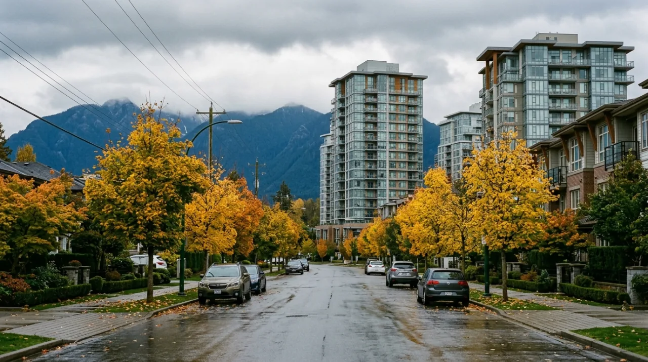
White Rock is small and built out. The city grew upward from the beach toward North Bluff Road over several decades, so the waterfront and the hillside above it carry a lot of apartment inventory. Buildings range from 1970s low-rises to recent concrete towers, and the older stock comes with the kind of questions our piece on reading a strata depreciation report walks through. The city also has one of the oldest age profiles in Canada, which keeps demand steady for single-level homes with no stairs and no yard.
Grandview Heights is the other extreme. Newer subdivisions, larger new houses, townhome complexes, and streets that did not exist twenty years ago.
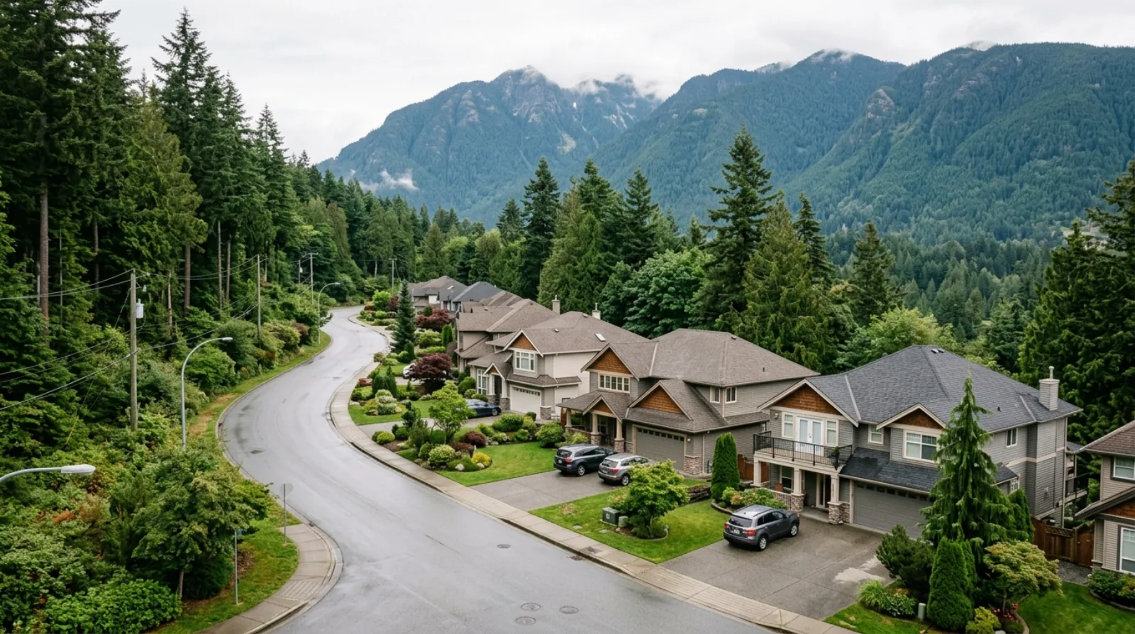
Ocean Park and Sunnyside Park sit in between: established detached homes, many from the 1970s and 1980s, on lots with mature trees.
Crescent Beach is its own case. Small, low-lying, close to the water, with a mix of cottages and rebuilt homes. Ask about flood construction levels and insurance before you write anything there.
Elgin Chantrell runs to large properties and acreage-style lots, closer in feel to the Southlands end of Dunbar-Southlands than to anything else on the peninsula.
Grandview Heights and the concept plans
Surrey plans Grandview Heights through Neighbourhood Concept Plans. A concept plan is the city's detailed map for one area, setting where housing, parks, schools and roads go before construction starts.
Separate plans cover Morgan Heights, Sunnyside Heights, North Grandview Heights and Redwood Heights, each written for its own portion of the larger area.
For a buyer, this is useful in a specific way. Before you buy, read the concept plan covering your street. It tells you what can legally be built on the empty field behind the house, whether a road is planned through, and where the density is meant to go. That answers the question every buyer of a new-build asks after closing, which is what happens next door.
New construction brings its own checklist. The new home warranty coverage and the GST treatment on new homes both apply differently here than on a resale house, and both change your real cost.
The commute, honestly
No SkyTrain reaches the peninsula. This is the single largest trade-off and buyers routinely underestimate it.
The Surrey-Langley SkyTrain extension is under construction now, and it runs east from King George Station along Fraser Highway to Langley City Centre, through Green Timbers, Fleetwood and Clayton. That is a different direction from the peninsula. The project does not bring rail any closer to White Rock or South Surrey.
What you actually have:
Highway 99. The fast route north, and the one that carries the volume. It meets the Massey Tunnel, which is the constraint on the trip in both peak directions.
King George Boulevard. The surface alternative north through Surrey. Slower, with lights, and useful when the highway backs up.
The 351 bus. White Rock Centre to Bridgeport Station in Richmond, by way of Highway 99 and the South Surrey Park and Ride. It is on TransLink's Frequent Transit Network, meaning service at least every 15 minutes for 15 hours a day, seven days a week.
The 354 bus. A similar express trip to Bridgeport serving White Rock South.
At Bridgeport you change to the Canada Line for downtown Vancouver. It works, and it is a multi-stage trip rather than a single ride. Treat a downtown commute from the peninsula as a real daily commitment.
The practical result is that most households here run two cars. Put that in the budget before you fall in love with a view lot.
Schools
Four public secondary schools serve the peninsula in the Surrey School District: Semiahmoo, Earl Marriott, Elgin Park and Grandview Heights.
Semiahmoo Secondary has been an International Baccalaureate World School since June 1981, which is one of the longest-running such programs in the province. That reputation shows up in what parents are willing to pay inside its catchment.
One warning. Catchment boundaries on the peninsula were redrawn when Grandview Heights Secondary opened, redistributing students across four schools instead of three. Older catchment maps circulating online are out of date. Confirm the current catchment for a specific address with the district directly before you let a school drive your offer.
The beach, and what comes with it
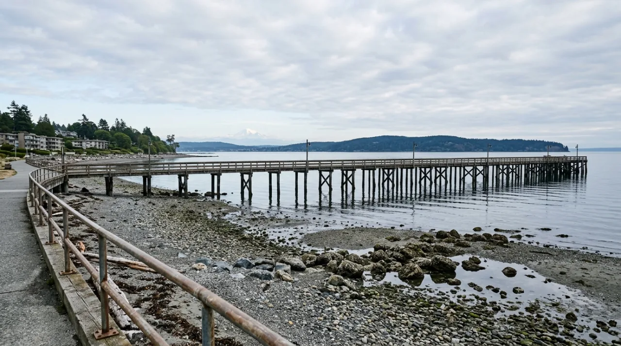
The Semiahmoo Peninsula has genuine beach access, which is rare in Metro Vancouver. The White Rock promenade, the pier that opened in 1914, and Crescent Beach at the other end are the reason many buyers look here at all.
The pier and the promenade also draw visitors from across the region every warm weekend. Streets near Marine Drive are narrow and mostly residential, parking fills, and getting in and out of the waterfront takes longer than the map suggests. If you are buying within a few blocks of the beach, go stand there on a hot Saturday afternoon first.
The trade-offs, stated plainly
Distance. You are at the southern edge of Metro Vancouver, close to the United States border. Downtown Vancouver is a long trip in any mode.
Car dependence. Two vehicles is the norm. Budget for insurance, fuel and parking accordingly.
Summer congestion in White Rock, concentrated near the waterfront.
Hillside lots. The White Rock slope produces steep driveways, retaining walls and drainage questions. Ask who owns each wall, where surface water goes in heavy rain, and whether the grade works for you in January. The BC home inspection checklist covers what an inspector should be looking at on a property like that.
Two rulebooks. A South Surrey address and a White Rock address a few blocks apart follow different zoning bylaws and different permit processes.
Buying in South Surrey and White Rock: the key points
- White Rock is a separate city, 5.17 square kilometres, incorporated April 15, 1957, surrounded on three sides by Surrey.
- South Surrey is part of the City of Surrey and holds Morgan Creek, Grandview Heights, Sunnyside Park, Ocean Park, Crescent Beach and Elgin Chantrell.
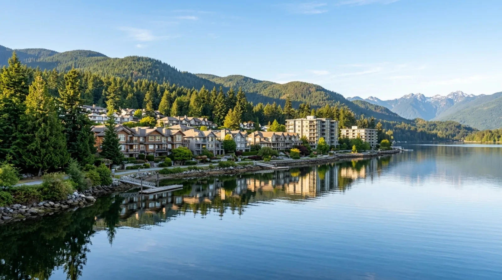
- The housing stock ranges from waterfront condos in White Rock to new subdivisions in Grandview Heights to acreage-style lots in Elgin Chantrell.
- Read the Neighbourhood Concept Plan for your street before buying new in Grandview Heights.
- No SkyTrain serves the peninsula, and the Surrey-Langley extension runs east to Langley rather than south.
- Transit to Vancouver is the 351 or 354 up Highway 99 to Bridgeport, then the Canada Line.
- Four secondary schools serve the area, and catchments were redrawn when Grandview Heights Secondary opened.
- Contact our team to compare specific addresses across the municipal line, or browse listings.
Plan your next step
Work through neighbourhood checks before you narrow down, because on this peninsula the differences between two areas ten minutes apart are larger than the listing labels suggest. If you are weighing a White Rock apartment against a South Surrey house, comparing homes sets out how to put two different property types side by side.
Frequently asked questions
Is White Rock part of Surrey?
No. White Rock incorporated as its own city on April 15, 1957, after residents felt cut off from the way Surrey was developing. It covers 5.17 square kilometres and is surrounded on three sides by Surrey, with Semiahmoo Bay to the south. It has its own council, its own bylaws, its own building department and its own property tax rate.
What areas count as South Surrey?
South Surrey is the part of the City of Surrey on the Semiahmoo Peninsula surrounding White Rock. It includes Morgan Creek, Grandview Heights, Sunnyside Park, Ocean Park, Crescent Beach and Elgin Chantrell. These are neighbourhood names rather than separate municipalities, so every one of them is governed by Surrey council and taxed on the Surrey roll.
Why do listings say South Surrey and White Rock together?
The two areas share a peninsula, a shopping district, a bus exchange and a set of school catchments, so agents and buyers treat them as one search area. The listing label is a convenience. The municipal boundary underneath it still decides your zoning rules, your building permits and which city you pay property tax to.
Does SkyTrain go to White Rock or South Surrey?
No. There is no SkyTrain station on the Semiahmoo Peninsula. The Surrey-Langley SkyTrain extension under construction runs east from King George Station along Fraser Highway to Langley City Centre, which is a separate direction from the peninsula. Nothing in that project brings rail closer to White Rock or South Surrey.
How do you get to downtown Vancouver without a car?
The 351 runs between White Rock Centre and Bridgeport Station in Richmond by way of Highway 99 and the South Surrey Park and Ride, and it is on TransLink's Frequent Transit Network. The 354 covers a similar trip serving White Rock South. At Bridgeport you change to the Canada Line for downtown. Plan on a multi-stage trip rather than a single ride.
What is a Neighbourhood Concept Plan?
It is Surrey's detailed planning map for one area, setting out where housing, parks, schools and roads go before construction starts. Grandview Heights is planned this way, with separate concept plans covering Morgan Heights, Sunnyside Heights, North Grandview Heights and Redwood Heights. Reading the plan for your street shows you what can legally be built nearby.
Which secondary schools serve the peninsula?
Four public secondary schools serve the Semiahmoo Peninsula in the Surrey School District: Semiahmoo, Earl Marriott, Elgin Park and Grandview Heights. Semiahmoo Secondary has been an International Baccalaureate World School since June 1981. Catchment boundaries were redrawn when Grandview Heights Secondary opened, so confirm the current catchment for a specific address with the district rather than relying on an older map.
Why is there so much condo stock in White Rock?
White Rock is small, built out, and its waterfront and hillside were developed upward over decades as the city grew from the beach toward North Bluff Road. Apartment buildings on and near the slope make use of limited land and capture the bay views. The city also has one of the oldest age profiles in Canada, which supports steady demand for single-level homes without stairs or yard work.
What should I know about buying on a hillside lot?
Steep lots on the White Rock slope bring drainage, retaining wall and access questions that flat lots do not. Ask who owns and maintains each retaining wall, where surface water goes in heavy rain, and whether the driveway grade works for you in winter. A home inspection on a hillside property should look specifically at the walls, the grading and any signs of movement.
Is summer traffic a real problem in White Rock?
The beach, the promenade and the pier draw visitors from across the region on warm weekends, and the streets serving them are narrow and mostly residential. Parking near Marine Drive fills, and getting in and out of the waterfront takes longer than the map suggests. If you are buying close to the beach, visit on a hot Saturday afternoon before you decide.