

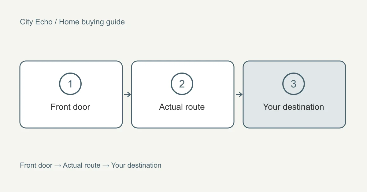
A neighbourhood check should begin with an address and a routine. “Near transit” does not tell you whether you can reach work at the time you need. “Family area” does not answer a question about a particular school or route. Broad descriptions can help you discover a location, but a purchase decision needs questions that connect the actual property to the way you live.
This chapter of the home-buying guide sets out a practical way to compare locations. Build your requirements in search preparation, then bring the observations into comparing homes. Keep official information, your own visit notes, and future proposals visibly separate throughout the process.
Start with the journeys that cannot move
List the destinations you need to reach on a recurring basis. Include the return journey and any stops you normally combine with it. A route that suits a direct morning trip may be awkward when you collect groceries or travel somewhere else before going home. Write the reason for each destination so you can distinguish an essential connection from a current habit that you might be willing to change.
Use the same travel assumptions for each property. Compare the same departure window, mode, and destination rather than selecting the most favourable journey for each location. TransLink's Trip Planner provides an official place to check public transit journeys. Record when you checked and which trip you used. Treat the result as information for planning rather than a guarantee of what every journey will take.
Where a route determines whether the home works, try it yourself if practical. Notice the parts that a headline travel time can hide: getting out of the building, reaching the stop, making a transfer, and travelling from the final stop to your destination. Keep the resulting notes descriptive. You are learning how the trip fits your needs, not establishing a universal verdict about the neighbourhood.
Examine the last part of the route
The route between the front door and a stop, parking space, or local shop can matter as much as the main journey. Walk the path you would use and pay attention to crossings, building entrances, surface changes, and places where you would carry things. If you use mobility equipment, a stroller, or a bicycle, examine the route with those requirements in mind rather than assuming the shortest line on a map is usable.
For a property with shared access, connect the neighbourhood check to the building visit. A convenient street connection does not tell you whether bicycle storage or an entrance works for your routine. Ask to see the relevant route with permission, and record anything you could not check. The strata review chapter addresses why the physical use of a space and the documented right to use it need separate attention.
Consider an alternative route as well. The purpose is not to predict every disruption. It is to understand whether you have a workable option when the usual arrangement is unavailable. Someone who normally cycles might also want a transit connection; someone who normally drives might care about a walkable errand. Describe the fallback that would actually help you rather than adding transport modes merely to lengthen the checklist.
Keep current service apart from future projects
Proposed and developing infrastructure can influence interest in a location. It should be recorded in a separate part of your notes with the official project source and the date checked. For example, the Broadway Subway project's future network information describes an extension; it should not be presented as an operating service when assessing today's journey. Check the project's current updates before relying on a schedule.
Write two descriptions if a proposal matters to you. The first explains how the location works with current infrastructure. The second explains what might change if the project proceeds as described. This prevents a future benefit from silently taking the place of a present requirement. If the property is only suitable under the future scenario, discuss that dependency directly before treating it as a serious candidate.
Apply the same approach to nearby development. A proposal, an approval, and completed construction are different stages. Use municipal information for the address or site involved and ask which stage the material describes. Avoid converting a conceptual image into a promise about the finished surroundings. You can record that an area may change without claiming to know the exact effect on a particular home's view, noise, or value.
Check schools using the district's information
If school access influences the search, begin with the current school district information for the exact address. The Vancouver School Board's school locator is an address-based starting point for Vancouver. Other municipalities have their own districts and processes. Do not carry an answer from one district into another simply because the neighbourhoods are close together.
Describe the question you need answered. A household may be asking about a catchment, a particular programme, the registration process, or an access requirement. These are not interchangeable. Ask the district to clarify the matter that affects you, and keep the response with the source date. A listing's school reference or a neighbour's experience can prompt a question, but should not replace the current answer relevant to your circumstances.
Visit the route as part of the location check where practical. Look at the crossings and entrances you would use, and consider how it fits with the rest of the day. Keep your assessment focused on the route and the information you can establish. Avoid making claims about school quality or assigning a household to an area based on assumptions about who already lives there.
Investigate everyday services in context
Choose the services you actually use, rather than collecting a list of nearby amenities. Someone who rarely uses a car may care about carrying groceries home. Someone with a regular appointment may care about that particular destination instead of the number of clinics on a map. A park may be important because of its route, facilities, or permitted activities, not simply because it appears as green space near the property.
Check the relevant operator's current information when a service is essential. Opening arrangements, programmes, access, and other details can change. Keep those questions distinct from whether you like the surrounding streets. An enjoyable walk during a viewing day is valuable personal information, but it cannot establish that a specific service will be available when you need it.
Look at the connections between errands. A location may work because several routine stops fit into one journey, or it may create repeated detours. Sketch an ordinary week and place the destinations into it. This helps you compare locations in terms of practical effort instead of relying on a neighbourhood's reputation. Use the area guides to discover places, then return to the address-level questions for the homes you shortlist.
Use municipal records for property questions
Questions about a particular parcel belong with the relevant municipal records and professional advice. Vancouver's VanMap information provides a starting point for exploring mapped city information. A map layer can identify something to investigate; it does not remove the need to understand the current rules and the exact property to which they apply.
If your plans include an alteration or another use, describe that plan explicitly when asking for help. “Can this be developed?” is less useful than a question about the particular proposal you intend to explore. Keep the existing home and the future possibility separate in the comparison. Do not assign a higher personal score on the assumption that an unconfirmed plan is already available to you.
Record the source, date, address, and remaining question together. Municipal boundaries and neighbourhood names do not always describe the same thing, so confirm which authority handles the parcel. The house viewing chapter uses the same discipline for observations at the property. Together, the notes can help you ask an informed question without pretending that your research is a professional determination.
Compare locations without declaring a universal winner
After checking the important routes and services, write a short location summary for each candidate. Describe the routine it supports, the inconvenience you would accept, and the questions still open. Keep a positive observation alongside the trade-off instead of trying to compress everything into a label such as good or bad. This makes the comparison easier to discuss with another household member or your professional.
If you use the comparison tool, choose location criteria that match the work you have done. A rating for commute fit should reflect your actual journey requirements. A rating for everyday access should reflect your destinations. Do not treat the score as evidence of market value, and do not allow an unresolved essential question to disappear into an average.
The next step may be another visit, a question to an authority, or removing a property from the shortlist. Each is a useful outcome when it follows from the evidence. Keep the notes even when you reject a home: they can show which part of a broader neighbourhood does work for you. Reuse the method for the next address while letting the answers remain specific to that place.