
Queensborough or the Quay: Two New Westminster Waterfronts, Two Different Buys
New Westminster has two waterfronts. They face the same river, sit four kilometres apart, and sell to different buyers.
Queensborough is flat, newer, and reached by a bridge. The Quay is the downtown waterfront, older, and a short walk from the Expo Line. Buyers who look at both in one weekend often come away confused, because the two markets answer different questions.
Queensborough: an island neighbourhood of New Westminster
Queensborough occupies the eastern tip of Lulu Island. That is the same island Richmond sits on, with a city boundary running across it and no water in between. Getting there from the rest of New Westminster means the Queensborough Bridge.
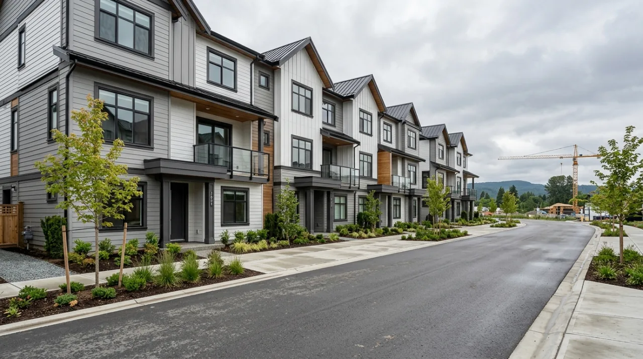
Most of the housing is new by Metro Vancouver standards. Land that was industrial and agricultural has been redeveloped over the past twenty years into master-planned townhome communities, with Port Royal on the eastern end the largest of them. The Queensborough Community Plan is the document steering that, setting the land use and the development permit guidelines for the neighbourhood.
What you notice on a first visit:
The streets are flat. The whole island is river delta. Strollers, bikes and scooters work here in a way they do not on the New Westminster mainland, which climbs steeply from the river.
The homes are larger. Three-bedroom townhomes with a double garage are standard product. Families priced out of a detached house end up here.
Retail is a car trip. Queensborough Landing at Boyd Street is an outlet mall with a large-format grocery and general merchandise anchor. It works for a weekly shop. Parking is the way in, and the shops sit around the lot rather than along a street you stroll.
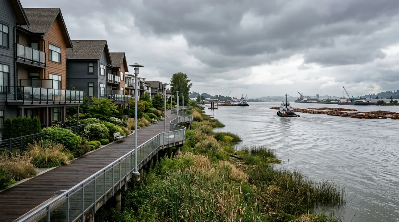
There is a riverfront boardwalk. A public walkway runs along the water through Port Royal, with views across the South Arm of the Fraser.
The commute is the real trade-off
No SkyTrain runs onto the island. Everything moves by road, and the Queensborough Bridge carries it.
The bus options are real but indirect. The 104 runs from 22nd Street Station on the Expo Line through Queensborough and Port Royal and on to Annacis Island in Delta. From the New Westminster downtown side, the 106 connects New Westminster Station and Edmonds Station. Neither gives you a walk to a platform.
Before you buy, do the trip at the hour you would actually do it. Drive it at 8:00 on a Tuesday, then again at 5:30. A bridge that is fine at noon is a different bridge in commuting hours, and there is no second route off the island in the direction you want.
The ground under the house
Queensborough is floodplain. That has two practical effects on a purchase.
Flood protection is structural. A perimeter dike built in the 1960s protects an area the City puts at 350 hectares. New Westminster names Queensborough as its highest priority for flood protection work, and the City publishes a floodplain strategy covering dike upgrades.
Flood Construction Levels apply to new building. The City created a Flood Hazard Development Permit Area in Queensborough to apply the Flood Construction Level across the neighbourhood, which is the minimum height above sea level for a habitable floor. Projects that used to be exempt, including single detached houses, now need a Development Permit as well as a Building Permit.
The soil is soft river deposit, so the City also requires geotechnical reports, pile foundation details, fill specifications and site drainage assessments before it issues permits. That is why townhome buildings here sit on piles.
Two questions to ask on any Queensborough showing:
- What is the Flood Construction Level for this address, and how does the ground floor sit relative to it?
- What does overland water insurance cost here? Get a real quote from a broker on the specific address, not a general figure.
The Quay: downtown waterfront on the Expo Line
The Quay runs along Quayside Drive, on the New Westminster side of the river. The pull is the combination of water and transit.
Transit is walkable. New Westminster Station on the Expo Line is a short walk. From there it is a single train to Burnaby, Surrey or downtown Vancouver with one transfer.
The waterfront is public and used. The River Market is an indoor food and retail hall on Quayside Drive. Westminster Pier Park, opened in 2012, adds a 325-metre boardwalk, a festival lawn, a play area and a basketball court along the river. The esplanade links the two.
The building stock is concrete and older. A large share of the towers went up in the 1980s and 1990s. Newer buildings have been added, so the age range on one street can be thirty years wide.
The hill is real. Columbia Street and uptown sit above the waterfront, and the climb is steep. Some buildings and public routes have elevators or stairs that shorten it. Walk it before you decide whether you would do it with groceries.
What building age does to a Quay purchase
Age shows up in the strata documents, in three places.
Strata fees. Older concrete buildings carry more mechanical equipment near the end of its life and often include more in the fee. Compare what each fee covers before comparing the numbers themselves. We break the components down in strata fees explained.
The contingency reserve fund. This is the savings account the building keeps for major repairs. A thin fund in a building with a window or envelope project coming means a special levy, which is a one-time charge split among owners.
The depreciation report. Every strata with five or more lots must have one, and the option to waive it by annual vote has been removed. In Metro Vancouver the compliance date was July 1, 2026, and the report has to be updated at least once every five years. It lists every major component, its remaining useful life and its replacement cost, then models how to fund the work.
That report is the single most useful document at the Quay. How to read it is in reading a strata depreciation report.
Who each one suits
Queensborough suits you if you need three bedrooms and a garage, you drive to work or work from home, you want flat ground for young children, and a townhome built in the last fifteen years appeals more than a 1992 apartment.
The Quay suits you if you commute by train, you want a short walk to a market, a boardwalk and a park, you are buying one or two bedrooms rather than three, and you are comfortable reading strata documents carefully in exchange for the location.
Households split on this. One partner on the Expo Line and one driving to Richmond or Delta is the case where Queensborough often wins, because the Queensborough Bridge and Highway 91 serve that second commute well.
What to check in each
In Queensborough, on a newer build:
- The new home warranty, and how much of it is left. BC's coverage runs on a 2-5-10 pattern: labour and materials, building envelope, then structure. The detail is in the BC new home warranty.
- The developer's completed projects in the area, and whether the warranty provider is still active.
- Geotechnical and settlement history. Ask the strata whether there have been claims about settlement, driveways, or utility connections.
- The Flood Construction Level for the address and the flood insurance quote.
At the Quay, on an older tower:
- The depreciation report, current within five years, and what the funding model assumes.
- The contingency reserve fund balance against the repairs due in the next ten years.
- Building envelope history. Ask whether the building has been rainscreened, when, and whether it was paid for by levy or from the reserve.
- Two years of council minutes and the last two annual general meeting packages. Levies and disputes appear there before they appear anywhere else.
If you are weighing New West against its neighbours, the wider city picture is in the New Westminster buyer's guide, and the closest comparison for a transit-first condo purchase is Edmonds in south Burnaby.
Buying in Queensborough or the New Westminster Quay: the key points
- Queensborough is New Westminster on Lulu Island, reached by the Queensborough Bridge, with no SkyTrain and the 104 to 22nd Street Station.
- Its housing is newer townhomes on redeveloped industrial land, under the Queensborough Community Plan.
- The island is floodplain, protected by a 1960s perimeter dike, with a Flood Construction Level applied through a development permit area.
- The Quay is the downtown waterfront, walking distance to New Westminster Station on the Expo Line, with the River Market and Westminster Pier Park.
- Much of the Quay's tower stock is 1980s and 1990s concrete, so the depreciation report and the reserve fund decide the purchase.
- Check warranty and geotechnical work in Queensborough, and envelope history and minutes at the Quay.
- Contact our team to compare specific buildings on both waterfronts, or browse listings.
Plan your next step
Work through neighbourhood checks before you commit to one side of the bridge, and use strata review for the documents in either market.
Frequently asked questions
Is Queensborough part of New Westminster or Richmond?
It is part of New Westminster. Queensborough occupies the eastern tip of Lulu Island, which is the same island that holds most of Richmond, so the two share a land border with no water between them. The city boundary runs through the island, and Queensborough pays New Westminster property tax and uses New Westminster services.
How do you get to Queensborough?
The Queensborough Bridge carries four lanes of Highway 91A over the North Arm of the Fraser River from the rest of New Westminster. Because Queensborough sits at the east end of Lulu Island, you can also drive west into Richmond on surface streets without crossing water. The bridge is the pressure point for most residents, because no rapid transit line reaches the island.
Does Queensborough have SkyTrain?
No. The nearest stations are 22nd Street Station and New Westminster Station, both on the mainland side. The 104 bus connects Queensborough and Port Royal to 22nd Street Station on the Expo Line. Plan your commute around the bus plus train combination rather than assuming a short walk to rail.
What is a Flood Construction Level?
It is the minimum height above sea level at which the habitable floor of a new building must be built. New Westminster created a Flood Hazard Development Permit Area in Queensborough to apply the Flood Construction Level across the whole neighbourhood, so projects that were once exempt, including single detached houses, now need a Development Permit alongside the Building Permit.
Is Queensborough at risk of flooding?
Queensborough is low-lying land on the Fraser River floodplain. A perimeter dike built in the 1960s protects an area the City puts at 350 hectares, and the City treats Queensborough as its highest priority for flood protection improvements. Ask your insurance broker what overland water coverage costs on a specific address before you remove subjects.
What kind of housing is in Queensborough?
Mostly townhomes and detached houses built over the past twenty years on land that was previously industrial and agricultural, developed under the Queensborough Community Plan. Port Royal on the eastern end is the largest of the master-planned areas. Floor plans tend to run larger than comparable strata housing closer to SkyTrain.
What is the New Westminster Quay?
It is the downtown waterfront along Quayside Drive, on the north bank of the Fraser River. The area holds concrete apartment towers, the River Market food and retail hall, a long public boardwalk, and Westminster Pier Park. New Westminster Station on the Expo Line sits a short walk uphill.
How old are the buildings at the Quay?
Much of the tower stock dates from the 1980s and 1990s, with newer buildings added since. Age matters because it drives the repair schedule: roofs, windows, elevators, plumbing risers and building envelope all reach the end of their service life on a timetable. Read the depreciation report to see where a specific building sits on that timetable.
Do BC stratas have to have a depreciation report?
Yes for most. Strata corporations with five or more lots must obtain a depreciation report, and the ability to waive it by annual vote has been removed. In Metro Vancouver, the Fraser Valley and the Capital Regional District the compliance date was July 1, 2026, and reports must be updated at least once every five years after that.
Which one suits a family with two cars better?
Queensborough, in most cases. Townhomes there commonly come with a double garage or a garage plus a driveway pad, and street parking is easier than downtown. A Quay tower usually comes with one stall, sometimes two in larger units, and a second stall may only be available by rental from another owner if the bylaws allow it.