
Langley and the Willoughby Townhome Belt: A Buyer's Guide
Almost every Langley conversation starts with the same mix-up, so it is worth clearing up first.
There are two Langleys, and they are two separate municipalities with two separate councils.
The two Langleys
The City of Langley is the small one. It holds downtown Langley, the strip along the Langley Bypass, and the area around Langley Centre. It is urban, walkable in parts, and compact.
The Township of Langley wraps around the City and is many times its size. It contains Willoughby, Walnut Grove, Murrayville, Brookswood, Fort Langley, Aldergrove, and a large amount of farmland between those communities.
This matters for a buyer in practical ways. Zoning rules, development charges, building permit processes and municipal services are set separately by each council. A listing described as "Langley" could sit in either one. Check which municipality an address falls in before you assume anything about what can be built nearby or what the rules are.
Willoughby, and why it is townhome country
Willoughby is the part most buyers are picturing when they say Langley.
It sits in the Township, between 200 Street and 208 Street on the east-west axis, north of the City of Langley and south of Walnut Grove. Over the last 35 years its share of the Township's population rose from 3% to 30%, and the Township's own plan material describes the Willoughby population increasing almost tenfold since 2011.
That growth was planned rather than accidental. The Willoughby Community Plan sets the overall direction, and a set of neighbourhood plans underneath it governs individual areas: Yorkson, Latimer, Routley, Jericho, Carvolth, the Gordon Estate areas and others. Each neighbourhood plan says what form of housing goes where, at what density, with what road and park layout.
The Township has been consolidating some of those plans. Several were merged into a new Willoughby Transit Corridor Plan, and the Gordon Estate plans were combined into a single Gordon Neighbourhood Plan. If you are buying near a boundary between plan areas, ask which plan currently governs the land across the street, because the answer changed recently in some places.
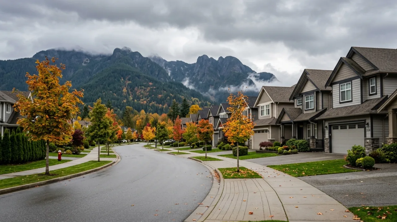
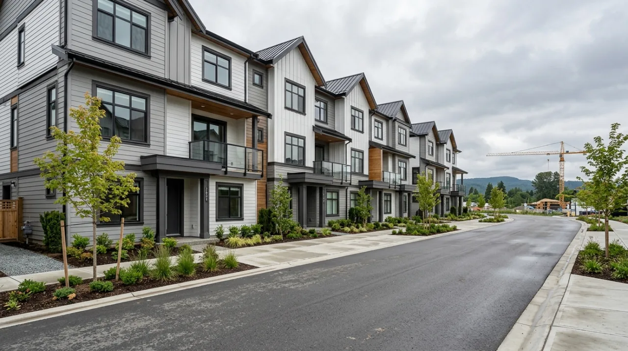
Why this produces townhomes. The plans designated large areas for attached housing from the beginning. Builders then delivered that housing in phases, block by block, over two decades. The result is streets of three-bedroom townhomes built inside the last 15 years, many with a double garage, three levels, and a small yard or patio.
For a family priced out of a detached house closer to Vancouver, that form answers the actual need: bedrooms, storage, parking, and a door to the outside. The same logic drives demand in Coquitlam's townhouse market, and the two areas compete for a similar buyer.
What to check in a newer strata
A townhome built in 2016 feels low-maintenance, and that feeling misleads buyers about the money.
Strata fees start low and rise. In a young building few components have needed replacement yet, so the monthly fee reflects light spending. Roofs, membranes, paint, fencing and mechanical systems all arrive later. A fee that looks cheap today is telling you about the building's age rather than about its long-run cost. The mechanics are in strata fees explained.
Read the depreciation report. It projects what needs replacing, when, and what it costs, then tests whether the contingency reserve fund can cover it. That document tells you whether a special levy is coming. Reading a strata depreciation report walks through how to read one.
Ask for the last two years of council minutes. Minutes are where building envelope problems, warranty claims and disputes appear first, usually before anything reaches a formal notice.
Check what the warranty still covers. New homes in BC carry a warranty on a 2-5-10 structure, and a resale townhome may have part of it left. Confirm the occupancy date and what remains rather than assuming.
The SkyTrain being built along Fraser Highway
The Surrey Langley SkyTrain extends the Expo Line 16 kilometres, primarily along Fraser Highway on an elevated guideway, from King George Station in Surrey to 203 Street in Langley City.
There are eight stations: Green Timbers, 152 Street, Fleetwood, Bakerview-166 Street, Hillcrest-184 Street, Clayton, Willowbrook, and Langley City Centre. Three of those, Bakerview-166 Street, Willowbrook and Langley City Centre, include bus exchanges. Station construction is underway at all eight, and the Province lists an anticipated in-service date of late 2029.
Treat that date as a target. Large transit projects move, and if your plan depends on the line running by a particular month, leave room for it to shift.
What a line under construction does to a buyer's position splits into two parts.
The access is a future benefit you pay for now. Rapid transit that has been announced, funded and started tends to be priced into nearby land and housing long before the first train runs. By the time you can ride it, the premium is already in the purchase price.
The construction is a present cost. Along the corridor that means noise, dust, lane closures, detours and changed bus routing for years. If you are buying within a few blocks of Fraser Highway or a station box, go stand on the street on a weekday morning before you write an offer.
There is a second effect worth understanding. Land near stations usually gets rezoned for more height and density, which changes what can be built beside you. BC's transit-oriented area rules work this way around rapid transit stations across the province, and Coquitlam's transit-oriented areas shows what that looks like in practice around an existing line.
The other Langley communities
Fort Langley is a separate market inside the same municipality. It is a small historic village on the Fraser River with a heritage main street, the national historic site, and limited new supply. Buyers choose it for character and for the village itself, and the housing stock is older and more varied than Willoughby's. Prices behave differently because supply barely moves.
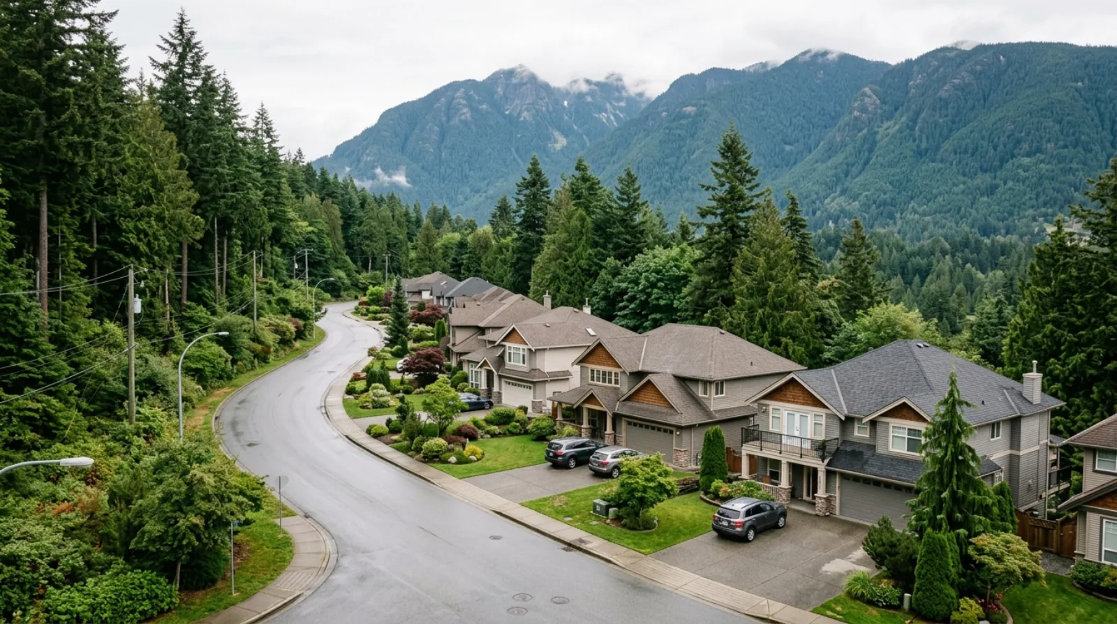
Walnut Grove sits north of Willoughby near Highway 1 and the Golden Ears Bridge approach. It was built out mainly through the 1990s, so the trees are mature, the schools are established, and the housing is largely detached with some townhome pockets. It appeals to buyers who want a settled neighbourhood rather than a new one.
Murrayville is south of the City of Langley, older again, with a mix of detached homes on larger lots and newer infill. It has its own small commercial area and a long-established feel.
Brookswood and Fenwick sit further south, known for larger treed lots. Aldergrove is the eastern community, further from the SkyTrain corridor and priced accordingly.
Commuting today
Until the line opens, Langley is a driving place.
Highway 1 runs along the north edge, with interchanges at 200 Street and 232 Street. Westbound morning traffic through the Port Mann is the constraint, and it is a long trip to downtown Vancouver.
The Golden Ears Bridge connects the Township north to Maple Ridge and Pitt Meadows, which matters if work or family sits on that side of the river.
200 Street is the main north-south road through Willoughby, carrying most local traffic between Highway 1 and the City of Langley.
On transit, the 502 runs along Fraser Highway between Langley Centre and Surrey Central Station, connecting to the Expo Line at King George Station. That is the corridor the SkyTrain is being built along, which is exactly why the route was chosen.
Be honest with yourself about the car count. Most Willoughby households run two vehicles, and townhome garages are sized for that. If your plan is to go car-light before 2029, test the actual bus trip at the actual hour first.
The Agricultural Land Reserve sets the edges
The Agricultural Land Reserve is a provincial zone that preserves farmland. It is administered by the Agricultural Land Commission, an independent provincial body, rather than by the municipality.
A large share of the Township of Langley sits inside it.
This is the single most useful thing to understand about Langley's shape. A municipal council can change its own zoning, and it cannot rezone its way through the ALR. Removing land from the reserve requires an application to the Commission, and those applications are assessed against protecting the agricultural land base.
The practical result: growth in the Township goes up and in rather than out. That is why Willoughby absorbed so much of it, why the plans there keep adding density, and why the farmland you drive past on the way to Fort Langley is still farmland. When you are looking at a Willoughby townhome backing onto a green field, check whether that field is inside the ALR. It changes the odds of what sits there in ten years.
Schools
Langley School District enrolment has been growing quickly, and Willoughby is where most of that growth lands.
The Province has funded new capacity in the area, including a joint secondary and middle school campus in Willoughby expected to open in September 2027, and a new elementary school in the Latimer area. Catchment boundaries across Willoughby were redrawn in 2026 ahead of those openings.
Two things follow for a buyer. First, catchment boundaries in a fast-growing area change, so the school your address feeds into today may differ in three years. Second, confirm the current catchment with the school district directly for the specific address rather than relying on a listing description or a map on a third-party site.
The trade-offs, stated plainly
New-build sameness. Long runs of Willoughby streets were built by a handful of builders in a short window, so the homes look alike. Some buyers find that restful and some find it dull. Drive it before you decide which you are.
Construction noise. Both kinds. The SkyTrain along Fraser Highway, and the ordinary sound of a neighbourhood still being finished, with framing crews and gravel trucks on the next block.
Car dependence until the line opens. Plan for it as a real cost. Two vehicles, insurance, fuel and the time sitting on Highway 1.
Density arriving next door. The plans that produced your townhome also govern the vacant parcel across the street. Read the neighbourhood plan for what is designated nearby, rather than assuming the current view is permanent.
Buying in Langley and Willoughby: the key points
- Two municipalities share the name. Confirm whether an address is in the City or the Township before assuming anything about rules.
- Willoughby's townhome supply exists because the Willoughby Community Plan and its neighbourhood plans designated it that way.
- The Surrey Langley SkyTrain runs 16 kilometres along Fraser Highway across eight stations, with an anticipated in-service date of late 2029.
- Transit access gets priced in during construction, and the construction itself is a cost you carry in the meantime.
- In a newer strata, read the depreciation report, the council minutes and the contingency reserve fund balance before the fee level reassures you.
- The Agricultural Land Reserve caps outward growth, which pushes density into Willoughby and the transit corridor.
- Fort Langley, Walnut Grove and Murrayville are separate markets from Willoughby, with older stock and slower supply.
- Contact our team to compare specific Langley neighbourhoods against your commute and budget, or browse listings.
Plan your next step
Work through neighbourhood checks before you narrow down which part of Langley fits, and use strata review on any townhome you get serious about.
Frequently asked questions
What is the difference between the City of Langley and the Township of Langley?
They are two separate municipalities with two separate councils, sharing a name and a border. The City of Langley is the small urban core around downtown and the Langley Bypass. The Township of Langley is much larger and contains Willoughby, Walnut Grove, Murrayville, Brookswood, Fort Langley, Aldergrove and a large amount of farmland. Zoning rules, development charges and municipal services differ between the two, so always check which one an address sits in.
Why are there so many townhomes in Willoughby?
Because the Township planned for them. The Willoughby Community Plan and the neighbourhood plans beneath it designated large areas for attached housing, and builders delivered that housing in phases over two decades. The Township's own plan material describes townhomes and multi-family apartments becoming the predominant housing forms in and around Willoughby Town Centre.
Where will the Surrey Langley SkyTrain stations be?
The project extends the Expo Line 16 kilometres along Fraser Highway from King George Station to 203 Street in Langley City. The eight stations are Green Timbers, 152 Street, Fleetwood, Bakerview-166 Street, Hillcrest-184 Street, Clayton, Willowbrook and Langley City Centre. Bakerview-166 Street, Willowbrook and Langley City Centre also include bus exchanges.
When will the SkyTrain to Langley open?
The Province lists an anticipated in-service date of late 2029, and station construction is underway at all eight stations. Treat that as a target rather than a promise, because large transit projects move. If your plan depends on the line being open by a specific month, build in room for it to shift.
Does a SkyTrain under construction help or hurt nearby property values?
It does both, at different times. Announced and under-construction rapid transit tends to be priced into nearby land and homes well before service starts, so you pay for the access early. Meanwhile construction brings noise, lane closures, dust and detours along the corridor, which is a real cost for anyone living beside it during the build.
What should I check in a newer Willoughby strata?
Read the depreciation report, the last two years of council minutes, the current and past budgets, and the contingency reserve fund balance. Newer buildings often have low strata fees at first because few components have needed replacement yet, and those fees rise as the building ages. Also ask about any building envelope claims, warranty claims, or special levies already discussed.
Is Fort Langley a different market from Willoughby?
Yes. Fort Langley is a small historic village with heritage character, its own commercial street, and limited new supply, so the housing stock and the buyer pool are different. Willoughby is newer, denser and still being built out. The two sit in the same municipality and trade on different things.
How do people commute from Langley today?
Mostly by car, using Highway 1, 200 Street, Fraser Highway and the Golden Ears Bridge toward Maple Ridge and Pitt Meadows. On transit, the 502 runs along Fraser Highway between Langley Centre and Surrey Central Station, connecting to the Expo Line at King George Station. That bus corridor is the route the SkyTrain extension is being built along.
What is the Agricultural Land Reserve and why does it matter in Langley?
The ALR is a provincial zone that preserves farmland, administered by the Agricultural Land Commission rather than by the municipality. A large share of the Township of Langley sits inside it. Because a local council cannot simply rezone ALR land for housing, new growth is concentrated in the areas outside the reserve, which is one reason Willoughby absorbed so much of it.
Are schools in Willoughby crowded?
Enrolment in the Langley School District has been growing quickly, and the Province has funded new capacity in Willoughby, including a joint secondary and middle school campus in the area expected to open in September 2027 and a new elementary school in the Latimer area. Catchment boundaries were redrawn in 2026 ahead of those openings. Confirm the current catchment for any specific address with the school district directly, because boundaries in a growing area change.