
Maple Ridge Buyer's Guide: What the Commute Buys You in Square Footage
Buyers ask me the same question by the second showing in Maple Ridge. Why is this house so much cheaper than the same house in Port Coquitlam?
The answer is travel time. Understanding that before you fall in love with a floor plan is the whole job.
Where Maple Ridge actually sits
Maple Ridge is the easternmost city in Metro Vancouver, on the north bank of the Fraser River. Pitt Meadows is directly west. Past the eastern boundary you leave the regional district and enter the Fraser Valley.
The developed part of the city runs along the river and the Lougheed Highway. North of that, the land rises into forest, and the top half of the municipality is park and watershed rather than neighbourhoods.
That position at the end of the region explains the prices, the commute, and most of the trade-offs in this guide.
The areas, and who each one suits
Downtown and the Haney core. The Town Centre around Haney Place holds the bus exchange, the library, the civic offices and the shopping centre. This is where apartments and older walk-ups are, and where you can live without a car if your work allows it. Port Haney station is here.
West Maple Ridge. Closest to Pitt Meadows and to Maple Meadows station. Older detached housing on established streets, and the shortest drive west of anywhere in the city. If a train commute is central to your plan, start here.
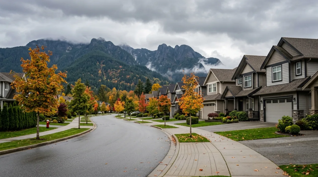
Albion. South and east of the Town Centre, above the river. Newer detached housing and townhouses, built out steadily over the past two decades.
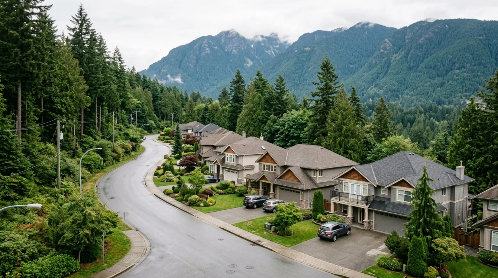
Silver Valley. North, up toward the mountains and the entrance to Golden Ears Provincial Park. The newest subdivision area in the city, with larger family houses on family-sized lots and a setting right against the forest. Furthest from the highway and the train.
Cottonwood. Between Albion and the Town Centre, with a mix of ages and housing types. Often the compromise between newer construction and a shorter drive.
Websters Corners, Whonnock and Ruskin. The rural east end. Acreages, larger parcels, and a different kind of life. Much of this area sits inside the Agricultural Land Reserve, which shapes what can be built there.
Silver Valley and Albion in more detail
These two carry most of the family buyers.
Both were planned as full neighbourhoods rather than scattered lots, so they come with the things that follow from that: schools built into the plan, parks, and roads sized for the houses around them. Both had their area plans updated and adopted by Council in November 2025, alongside the Town Centre and Hammond plans, to meet a provincial deadline for aligning local plans with housing targets.
The Albion update added buffers where new housing meets farmland, and strengthened the small commercial nodes and the walking and cycling connections. The Silver Valley update simplified the land use designations and introduced a River Village mixed-use designation, meant to give that area a centre rather than only houses.
For a buyer, the practical read is that both areas will keep adding homes, and both are being pushed toward having somewhere to walk to. Neither is there yet.
The Town Centre and apartment growth
Apartment supply in Maple Ridge is concentrated around Haney Place, and the Town Centre Area Plan is the document directing it.
Council adopted an updated version in November 2025. It expanded the plan boundary to include River Bend, cut eleven land use designations down to seven, and added a Town Centre Core designation supporting higher density in a walkable area. The Port Haney and Fraser River waterfront section points toward mid-rise buildings near the station.
If you are comparing a Maple Ridge apartment against one in a Tri-Cities town centre, the comparison in Coquitlam Town Centre is a useful reference point for what the density and amenity difference looks like.
The commute, honestly
This is the part that decides whether Maple Ridge works for you.
West Coast Express. Two stations serve the city: Maple Meadows in the west and Port Haney in the Town Centre. Five trains run west to Waterfront each weekday morning, and five run back east in the afternoon and evening. Monday to Friday only. No weekend service, no midday trains, and no trains running the other direction for someone commuting into Maple Ridge.
The train is comfortable and it is fast. It also covers exactly one pattern: out in the morning, back at the end of the day, five days a week. Every other trip is on you.
The 701 bus. TransLink's 701 connects Haney Place to Coquitlam Central Station by way of the Lougheed Highway and Pitt Meadows, and you transfer to the SkyTrain there. Some weekday trips continue east to Mission City. This is the fallback when the train has stopped for the day, and it runs far longer hours than the train does.
The Golden Ears Bridge. South across the Fraser to Langley, connecting to Highway 1. Tolls came off on September 1, 2017 and have not returned. This opens up work on the south side of the river, and it is why some Maple Ridge households commute to Surrey or Langley rather than west.
The Lougheed Highway. West through Pitt Meadows toward Port Coquitlam and the Tri-Cities. It carries a lot of traffic at peak times, and it is the route you take when the train is not an option.
One piece of advice I give every buyer looking here: drive your real commute, at your real departure time, before you write an offer. A Sunday afternoon test drive tells you nothing.
What the price gap buys
Compared with Coquitlam, Port Coquitlam or Port Moody, the same money in Maple Ridge buys more finished square footage and a larger lot. Buyers who have been losing out on smaller houses closer in often find they can get a detached home with a yard here.
The gap exists because of access. The Tri-Cities have SkyTrain and a shorter drive to the Burnaby and Vancouver job centres, and buyers pay for that. Moving east past Pitt Meadows trades commute minutes for space.
If you are still weighing the middle ground, our comparison of Coquitlam and Port Coquitlam covers the step before this one.
The Agricultural Land Reserve
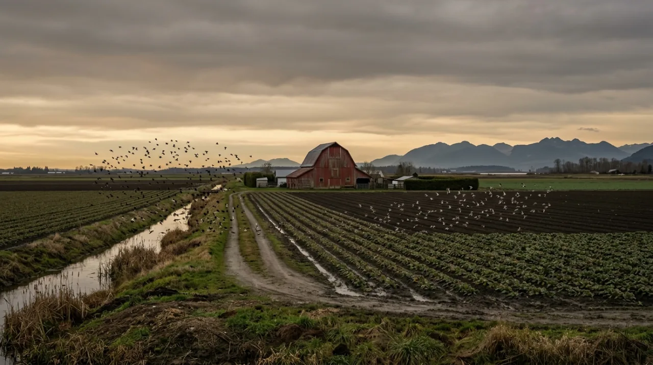
A large share of Maple Ridge's rural land sits inside the Agricultural Land Reserve, the provincial designation protecting farmland.
Land in the reserve cannot be subdivided for housing without approval from the Agricultural Land Commission, and that approval is hard to get. The effect on supply is permanent rather than temporary: the eastern and southern farmland is not going to become subdivisions.
Two things follow for a buyer. New housing gets pushed into the existing urban areas and the Town Centre. And if you are looking at an acreage out east, confirm its reserve status before you plan anything, because what you may build on it and how you may use it are governed by provincial rules on top of the city's zoning.
Parks, and the reason many people come
Golden Ears Provincial Park sits directly north of Silver Valley, one of the largest parks in the province. Alouette Lake is inside it, with a beach, boat launch and campgrounds. For a household that spends weekends outdoors, being twenty minutes from the park gate rather than ninety is the point of the whole move.
The Fraser River frontage, the dyke trails and the smaller municipal parks fill in the rest.
Schools
School District 42 covers both Maple Ridge and Pitt Meadows. The district runs a school locator tool that takes a street address and returns the catchment elementary and secondary school.
Use the address. Catchment boundaries cut through areas in ways that do not match how people describe where they live, and two houses on the same street can feed different schools.
The trade-offs, stated plainly
The commute to Vancouver is long. On the train it is a fixed, workable block of time, five days a week. By car at peak hours it is longer and less predictable.
You will need a car, and probably two. Outside the Town Centre and the station areas, groceries, schools and appointments all involve driving. Budget for the second vehicle, the insurance and the fuel when you compare a Maple Ridge house against a closer-in townhouse.
Fewer amenities per resident. Restaurants, specialist medical offices and shops are spread thinner than in the Tri-Cities. This is improving in the Town Centre and it has a long way to go.
Resale depends on the same factors. What makes it affordable also makes it slower to sell in a soft market. Proximity to a station, to the highway and to a good school catchment matters more here than it does closer in.
Before you commit, run the numbers on the mortgage as well as the drive. Our piece on the mortgage stress test explains why the approval often lands below what buyers expect, which is sometimes what sends them east in the first place.
Buying in Maple Ridge: the key points
- Maple Ridge is the east end of Metro Vancouver, north side of the Fraser.
- Silver Valley and Albion hold the newer family housing, both with area plans updated in November 2025.
- Apartments are concentrated in the Town Centre around Haney Place.
- The West Coast Express runs five trains each way, weekdays only, from Maple Meadows and Port Haney.
- The 701 bus to Coquitlam Central is the fallback outside train hours.
- The Golden Ears Bridge has been toll free since September 1, 2017.
- The Agricultural Land Reserve caps new supply on the rural side.
- You trade commute time and car dependence for square footage and lot size.
- Contact our team to compare specific streets and catchments, or browse listings.
Plan your next step
Work through neighbourhood checks before you shortlist an area, because the commute test and the school catchment check are the two that change decisions here. Then use comparing homes to put the extra square footage against what you give up in travel time.
Frequently asked questions
Where exactly is Maple Ridge?
It is the easternmost city in Metro Vancouver, on the north side of the Fraser River, with Pitt Meadows to its west and the Fraser Valley Regional District beyond its eastern boundary. The developed part of the city runs along the river and the Lougheed Highway, while the northern half rises into forest and provincial park land. Everything about local prices and commute times follows from that position at the end of the region.
Which Maple Ridge areas should a family look at first?
Silver Valley and Albion are the two newer subdivision areas, built mostly in the last twenty-five years with detached houses on family-sized lots. Cottonwood sits between them and the Town Centre and offers a mix of ages. West Maple Ridge is closer to Maple Meadows station, which matters if a train commute is part of the plan.
How does the West Coast Express work from Maple Ridge?
Two stations serve the city, Maple Meadows and Port Haney. Five trains run to Waterfront in Vancouver each weekday morning and five run back east in the afternoon and evening. There is no weekend service, no midday service, and no reverse-direction service, so the train covers one commute pattern and nothing else.
What do I do if I miss the last train home?
You drive, or you take transit the long way. TransLink runs the 701 bus between Haney Place and Coquitlam Central Station, where you can connect to the SkyTrain, and that route operates well beyond the train's hours. Plan for this before you buy, because the evening it happens is not the moment to discover how long it takes.
Is the Golden Ears Bridge still tolled?
No. Tolls on the Golden Ears Bridge and the Port Mann Bridge were removed on September 1, 2017, and have not returned. The bridge connects Maple Ridge south across the Fraser to Langley, which puts Highway 1 within reach and opens up jobs on the south side of the river.
Why are Maple Ridge houses cheaper than the Tri-Cities?
Distance from the regional job centres, and the travel time that comes with it. Coquitlam, Port Moody and Port Coquitlam have SkyTrain or a shorter drive to Vancouver and Burnaby, and buyers pay for that access. Moving east past Pitt Meadows trades minutes of commute for square footage and lot size.
What does the Agricultural Land Reserve do to housing supply here?
The reserve is provincial land set aside for farming, and a large share of Maple Ridge's rural area sits inside it. Land in the reserve cannot be subdivided into housing without approval from the Agricultural Land Commission, which is difficult to obtain. The practical effect is that new housing gets directed into the existing urban area rather than spreading outward.
What is happening around Haney Place?
Haney Place is the Town Centre core, with the main bus exchange, the library, the civic buildings and the shopping centre. The Town Centre Area Plan was updated and adopted by Council in November 2025, adding a Town Centre Core designation that supports higher density in a walkable area. Most of the city's apartment supply is here or planned here.
How do school catchments work in Maple Ridge?
The city is served by School District 42, which covers both Maple Ridge and Pitt Meadows. The district publishes a school locator tool that takes a home address and returns the catchment elementary and secondary school for it. Check the specific address rather than the neighbourhood name, because catchment lines cut through areas in ways the street map does not suggest.
What is the biggest downside of buying in Maple Ridge?
Car dependence. Outside the Town Centre and the West Coast Express station areas, most trips need a vehicle, and households often end up running two. Add the commute time to Vancouver and the thinner spread of shops and services per resident compared with the Tri-Cities, and those are the costs that balance the extra space.